
Product
3D Base Station Antenna
Place of Origin: China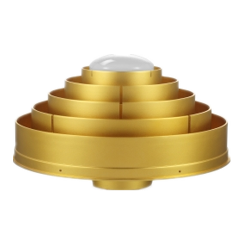
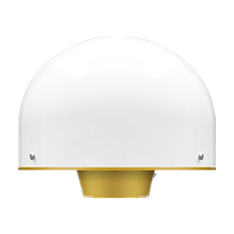
3D reference station antenna adopts international advanced 3D structure choke coil design, equipped with anti-multipath choke plate, uses waterproof and UV protection cover, has the characteristics of stable phase center, high positioning accuracy, and good low-elevation reception. It has passed Authoritative test of NGS in the United States.
- Features
- Parameters
- Application
1. The accuracy of the phase center reaches the sub-millimeter level, and the phase center has high stability and good repeatability
2. Adopt 3D choke coil design to achieve excellent multi-path suppression effect
3. The antenna has high gain at low elevation angles, and has strong tracking ability to low elevation angle satellites,ensuring that the number of available satellites in the system is sufficient
4. The low noise amplifier has high gain, and the cable length can be more than 100 meters
5. Unique waterproof and dustproof design ensures that the core components are completely sealed and can work normally outdoors for many years
Antenna characteristics
Frequency range BDS B1/B2/B3
GPS L1/L2/L5
GLONASS L1/L2
GALILEO E1/E2/E5a/E5b/E6
L-Band
Resistance: resistance 50 ohm
Polarization method Right-hand circular polarization
Antenna axis ratio ≤3dB
Horizontal coverage angle 360°
Output standing wave ≤2.0
Maximum gain 7dBi
Phase center error ±1mm
Low noise amplifier index
Gain 50 ±2dB
Noise figure ≤2dB
Output standing wave ≤2.0
In-band flatness ±2dB
Working voltage 3.3~12VDC
Working current ≤60mA
Differential transmission delay ≤5ns
Structural characteristics
Antenna size φ379*312mm
Connector form TNC female
Weight ≤10.5Kg
Installation method 5/8*11 teeth (with the north direction on the base)
working environment
Working temperature -40℃~+85℃
Storage temperature -55℃~+85℃
Humidity 95% non-condensing
3D choke antenna to meet the needs of highprecision measurement equip-ment and multisystem compatibility. Widely used in CORS stations set up, land surveying, seismic monitoring, monitoring of landslides, bridges and other high-precision measurement of deformation monitoring applications.